


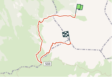

8.9 km | 18.2 km-effort

Tous les sentiers balisés d’Europe GUIDE+


FREE GPS app for hiking
 SityTrail
IGN / Geographical institutes
SityTrail World
The world is yours!
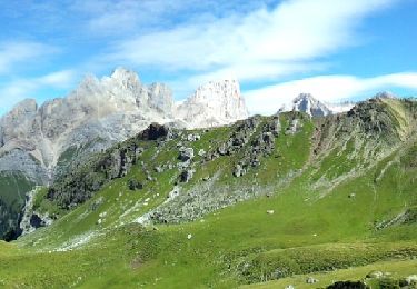
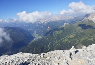
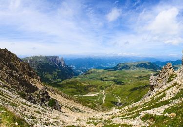
Trail On foot of 6.4 km to be discovered at Trentino-Alto Adige/Südtirol, South Tyrol, Santa Cristina Gherdëina - St. Christina in Gröden - Santa Cristina Valgardena. This trail is proposed by SityTrail - itinéraires balisés pédestres.
Trail created by Alpenverein Südtirol (AVS).
Symbol: 527 on white red flag


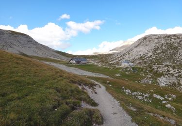
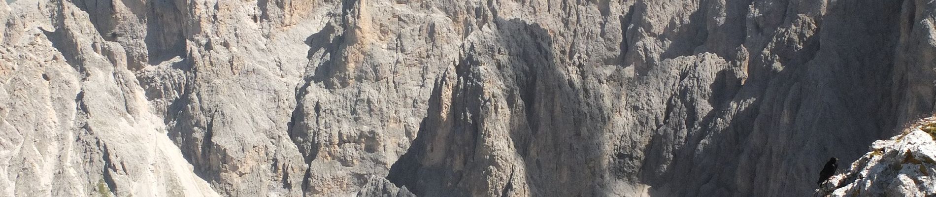
On foot
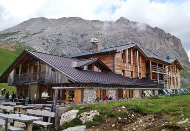
On foot
On foot
On foot
On foot

On foot

On foot

On foot

On foot